 This page gives contact information for the department. You might
also be interested in directions for
visitors (including maps of Oxford and travel routes), or
further information about the department and its history.
This page gives contact information for the department. You might
also be interested in directions for
visitors (including maps of Oxford and travel routes), or
further information about the department and its history.
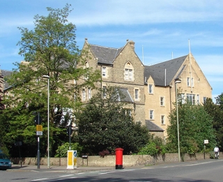
Department of Computer Science, University of Oxford
Wolfson Building
Parks Road
OXFORD
OX1 3QD
UK
If you are a student wishing to apply for an undergraduate course you can read more about our Computer Science courses from our pages for prospective students, if you are interested in other undergraduate courses from the University of Oxford please see: www.ox.ac.uk/admissions.
Personal email addresses are of the form:
FirstName.LastName@cs.ox.ac.uk
Web pages, telephone numbers and email addresses of members of the Department of Computer Science are listed on their personal pages.